

The Bibbulmun Track is one of the worlds great long distance hiking trails. It starts in Kalamunda in the Perth Hills and ends in Albany 1000 km away on the South Coast of Western Australia.
It can be walked either North to South, South to North or in sections.
The Bibbulmun Track Foundation is responsible for the upkeep of the track and provides many other services and has split the trail into 9 sections. Visit the excellent Bibbulmun Track site for all the information you need. Bibbulmun Track.org.au

I decided at short notice to walk as much of the first section The Darling Range; Kalamunda to Dwellingup 211 km, that I could before running out of food. This section of the track is also the longest distance between towns therefore to be able to make it all the way you will need to carry all your food for the distance or arrange for a food drop along the way.
I made it to the North Bannister Roadhouse in just under 4.5 days on the food I had.
TABLE OF CONTENTS
HOW I DID IT
NAVIGATION
Paper maps can be purchased online from the Bibbulmun Track.org.au or like I did from Paddypallin.

Kalamunda to Dwellingup route through the Darling Range. Mapsme.
You can also download the gps file from the Bibbulmun Track site. I downloaded and converted it to a kml file so I could overlay it onto an offline Mapsme map of the area. The Maps.me app can be found on Google Play.
GETTING TO THE START
I caught the bus from Perth City to Kalamunda Bus Station from there it was a short walk to the start of the trail. A useful tool: Transperth.wa.gov.au/Journey-Planner

Kalamunda National Park
The northern end of the Bibbulmun Track https://parks.dpaw.wa.gov.au/park/kalamunda
THE HUTS
Along the track every 10 to 15 km there are huts that you can stay in for free. Basic amenities are available, water which is rain water collected off the roof and a long drop toilet which usually has toilet paper supplied.

Bibbulmun Track Hut with rain water tanks.

Each campsite has a signposted tent site, which can be useful if the huts are full.

Ball Creek Campsite. Nemo 2 person tent.https://www.youtube.com/watch?v=w6lkAaTkcKI
Each hut has a log book which can be filled in. This provides useful information if you become lost to the emergency services if they have to come looking for you.
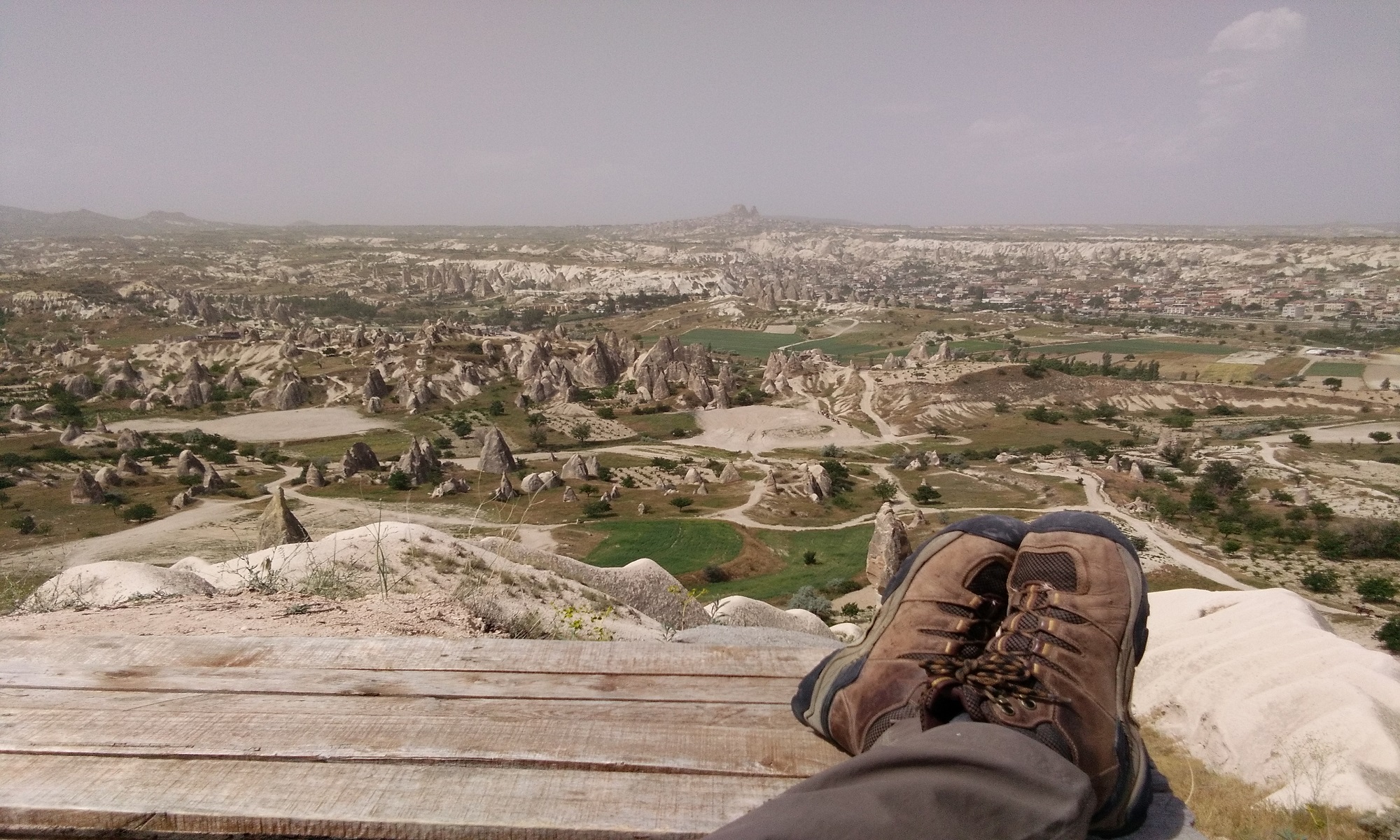
THE HIKE
I would consider the section of the Bibbulmun track I hiked, Kalamunda to Albany Highway, Easy to Moderate with the more interesting and great views being between the Monadnocks and Nerang campsites. This is the part of the trail that passes over Mount Cuthbert, Mount Vincent and Mount Cooke 582 m.

The trail is easy to follow with plenty of Wagyl markers along the way. Here is a link that can explain the significance of the Wagyl to the indigenous people of Western Australia. https://www.noongarculture.org.au/spirituality/

The trail is easy to follow with plenty of Wagyl markers along the way.
T

The track. The vegetation varies, from this to wide open spaces.
You will hike through some areas and see very little then hit other areas with lots of birds; cockatoos, parrots etc. Wallaby and Kangaroos will also leap up and dash off as you approach them on the track.

One of the few open water areas on this part of the track.
There are ticks, fly’s and mosquito’s to contend with. A fly net and a mosquito net are well worth carrying.
Here is a site that explains how to safely remove ticks. https://www.cdc.gov/ticks/removing_a_tick.html

One of the fire ravaged areas of the track.
The track surface is often covered in small round gravel which rolls when you walk on it therefore I would suggest that your footwear still has plenty of thread left on the soles for a better grip.
There were very few people hiking the track in November 2018. Most were doing overnight hikes to Perth Discovery Center or Ball Creek Campsite. I walked 48 hours without seeing anybody.
GETTING HOME
I finished the hike once I arrived at Albany Highway, North Bannister Roadhouse where i was able to hitch hike back up to Perth very easily. Or you can use this bus service Transwa.wa
RESOURCES
- https://www.bibbulmuntrack.org.au
- https://www.paddypallin.com.au/
- https://www.transperth.wa.gov.au/Journey-Planner
- https://maps.me
- https://www.transwa.wa.gov.au
- https://www.cdc.gov/ticks/removing_a_tick.html
- https://parks.dpaw.wa.gov.au/park/kalamunda
EQUIPMENT I USED
- Aarn Effortless Rhythm 72L back pack. With attached Expedition Balance Pockets 15L. Thebackpackinghiker.com/gear-review/
- Nemo Hornet 2 person tent. 910g. (Inner section doubles as a mosquito net) https://www.youtube.com/watch?v=w6lkAaTkcKI
- Zlite Sol Thermorest sleeping pad Backpackers.com/outdoor-gear/therm-a-rest/sleeping-pads/z-lite-sol/therm-a-rest-z-lite-sol-review
- Hiking stick
- Sea to Summit silk sleeping sheet. Seatosummitusa.sleeping-bag-liners
- Scarpa hiking boots Switchbacktravel.com/best-hiking-boots
- Lightweight trousers x 2
- T-shirts x 2
- Underpants x 2
- Warm jacket (Fleece)
- 2 pairs of socks
- Fly net
- Headlamp plus spare batteries.
- 2 x 1.5 liter water bottles.
- Beany
- Toilet paper
- Poncho
- Gas cooker (Gas canisters can be brought in the Paddy Palin store in Perth Paddypallin.com.au )
- 2 x Lite weight cooking pots (Kathmandu)
- Plastic heat proof cup
- Spork
- Pocket knife
- First aid kit
- Mobile Phone with offline maps (Internet access was reasonably good with only a couple of campsites, Ball Creek and Nerang campsites with no access).
- Power Bank.
- The Bibbulmun Track Map 1 Darling Range. Kalamunda to North Bannister. Bibbulmuntrack.org.au/shop/map-1-the-darling-range
- Food (For 5 days)
I’ve always been put off Australia as a hiking destination due to the not so pleasant spiders and snakes, (being British, I still find it hard to get used to the idea of having dangerous arachnids and snakes around). But your post makes it sound like a pretty good hiking destination. (Not to mention the fact that I’m having to contend with snakes and hornets over here anyway!) Thanks for posting so much detail.
Thank you for your comment. I have spent quite a bit of time over the years in the outback in Western Australia and seen very few snakes or spiders. But in Indonesia I see snakes several times a week.
They are more afraid of you then you are of them.
That’s generally been my experience too, but it still scares me whenever I encounter one.
Wow Shaun what an adventure Sounds like a lot of fun .I like the idea of huts every 15km or so . Long drop toilets with toilet paper ….what a luxury ! I thought you would have to do your business out in the spiniex ….and that stuff is sharp if embeddedin the wrong places . My question to you Shaun is there any charges for the use of the sheds and tents when camping on the trail ?
Thanks Dave for your comment. Yes it was a bit of luxury having a sit-down toilet.
There are no charges for the use of the huts and campsite. The Bibbulmun Track Foundation is supported by donations and products they sell. A great system and one I hope is sustainable.