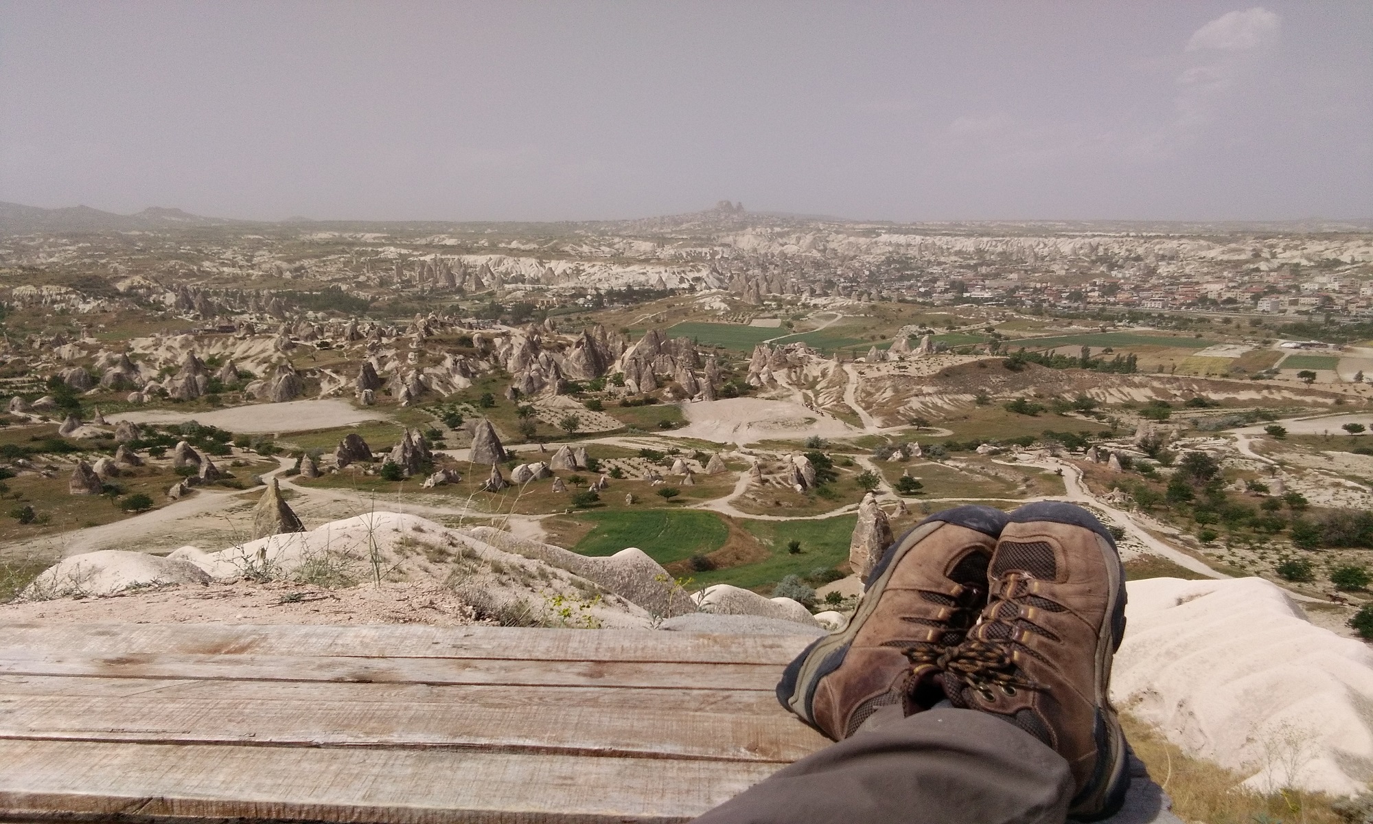
Georgia (the country), situated in the Caucasus has a large range of hiking trails through its mountains. Here are some of the regions I have hiked through.
Samegrelo Region

Using the Caucasus Trekking website routes, I started hiking in the Samegrelo Ranges by climbing up to Lake Lakumurash with Thomas van Hemert, a Blue route with plenty of challenges i.e. an overgrown trail with multiple river crossings.
Overgrown with up to 2 meter high weed comprising of Hogwart, Blackberry, Stinging nettle and of course rocks just to make it more fun. The final ascent to the lake was a climb up a rock face.
To descend from Lake Lakumurash we climbed up higher and onto a ridge that took us over to the Khobistskali valley and from here I continued to hike solo and camp up and around the five other lakes in the surrounding area.
When hiking and camping in this area you need to carry at least 5 days of food and gas. The area is remote with no villages in the immediate area. Don’t expect to be able to find firewood in the alpine regions.
I ended this part of the hike in Khaishi village which is down on the main Zugdidi to Mestia road. By the time I reached Khaishi village I needed to resupply, but unfortunately the selection of hiking food was limited, mainly heavy canned food. Plenty of chocolate and alcohol though.
Svaneti
From Khaishi I hiked up to the start of the Chauberi to Nakra route to continue my journey eastwards. Nakra to Estera to Mazeri and over the Guli Pass to Mestia. Beware if you decide to stay in one of the Shepards huts located before the Guli Pass the owners may come up to collect the rent.
After a short break I continued to Ushguli climbing up to a higher altitude 2700m up into the Tetnuldi Ski Area to bypass the village of Adishi and over the Maphkrani Range at 3000m to bypass Iprali to reach Ushguli via the Enguri Valley. This route going West to East is very steep and covered in Rhodendens with the descent into the Enguri Valley the same.
Racha
Eastward into Racha. I left Ushguli by hiking up to the Zagara Pass then down to Tsana then to Zeskho. I registered at the Zeskho Border Police Post with the promise to check-in with the Border Police in Oni.
At Zeskho I caught up with Paul and the Trans Caucasian Trail Volunteer building team at their camp.
From there I climbed up the trail the TCT is establishing to cross over into the Lechkhumi Range via the Vatsistsveri Pass 2910m. That night I camped at the Sasvano Lakes 2600m.
The next day the trail lead me down the valley along the Rioni River to Ghebi. Ended up camping in Sergei’s Guesthouse garden in Ghebi.
I hiked from Ghebi up to the Shoda-Kedela Pass at 2947m to cross over to Sakao and onto Oni. This route had one of the most challenging descents I have done. The trail is poorly marked on the Sakao side and I didn’t have any online maps and was using a photo from the tourist map in Ghebi as a guide.
Hiking the Trans Caucasian Trail
From Oni you can continue on the Trans Caucasian Trail all the way to the Georgian/Armenian border. Hiking The Trans Caucasian Trail
Kazbegi
Kazbegi is a 2 1/2 hour drive from Tbilisi. It is possible to climb from Stepantsminda up to the glacier and on to the Betlima Base Camp 3663m to camp. Refer to Caucasus Trekking Kazbegi Hike to the Glacier. I definitely recommend camping overnight at 3000m to allow for altitude gain.
Tusheti
Omalo to Shatili trail via the Diklo Fortress can be 6 day hike. Please refer to the blog: Hiking trails in the Caucasus Mountains.
Khevsureti
Khevsureti the location of the 3 lakes at Abudelauri on the Roshka to Juta hike. Refer to Hiking Trails in the Caucasus Mountains
Borjomi
I caught a marsrutka to Borjomi from Didube in Tbilisi, a 2 hour 12 lari ride. I walked from the marsrutka station to the Borjomi Kharagauli National Park Office. Paid my 5 lari per day for 5 days entry fee. I started my hike from the National Park office to Likani , which is the start of the Nickolas Romanov trail to Sakhvlari Hut. From there on the St Andrew’s trail to finish at the Atskuri Guard Station for a total of 80 kms. You are able to stay the night in the very basic park tourist shelters.
If the huts aren’t full, there is no need for a tent.
Day 1: Likani guard station – Lomismta tourist shelter 15 km, an average of 5-6 hr, 12 beds or tent spaces.
Day 2: Lomismta tourist shelter – Sakhvlari tourist shelter 18 km, an average of 6-7 hr, 12 beds or tent spaces.
Day 3: Sakhvlari tourist shelter -Sametskhvario guard shelter 19 km. On average 7 hr, Sametskhvario guard shelter – Amarati tourist shelter, 9 km. on average 4-5 hr, 12 beds or tents spaces.
Day 4: Amarati tourist shelter -Atskuri guard station 16 km. on average 6-7 hr., overnight in tourist shelter or tents
I walked out to the main road from Atskuri to try and hitchhike back to Borjormi. It is a pretty busy road. I ended up catching a marsrutka direct to Tbilisi.
Hiking in Georgia Resources
- Geoland in Tbilisi for maps and gas.
- Mplus Tbilisi for the rental of equipment that you may need. Gas and maps available.
- Caucasus Trekking to download GPX or KML trail files. The site provides a good description and the how to get to the start for each route.
- Trans Caucasian Trail for more detail and trail file downloads to follow the TCT trail.
- Mestia for screw and plug gas canisters. Sold in some of the souvenir shops.


One Reply to “Hiking in Georgia”